Hydrogeological Disruption Research
We protect the environment
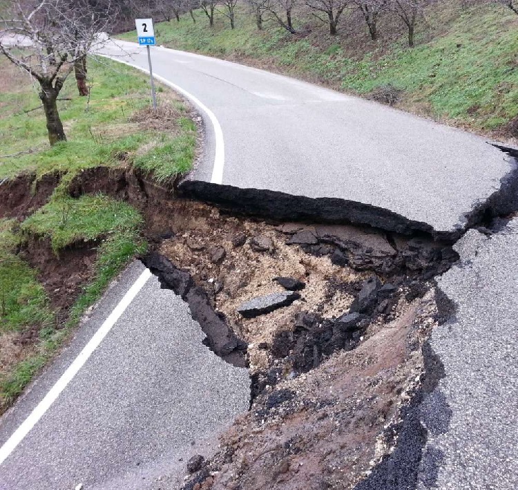
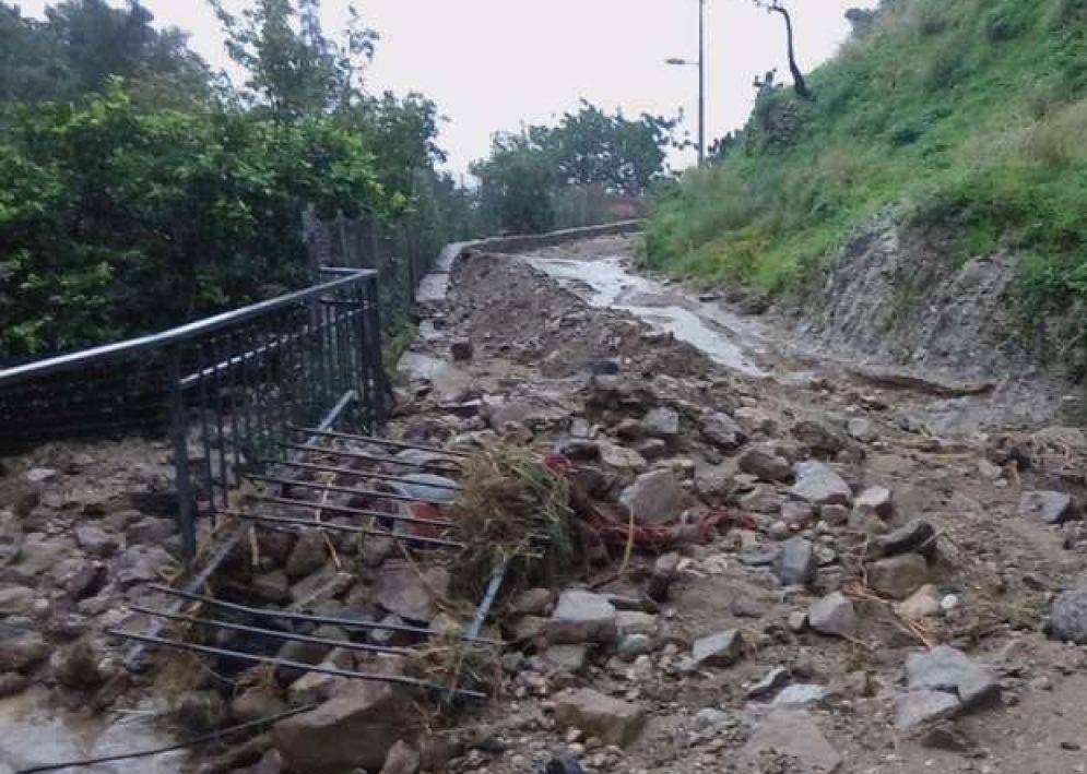
In Italy, several regions present a high hydrogeological risk and the most typical manifestations of these phenomena are landslides, floods and erosions.
Hydro Hunter is able in a non-invasive way to detect the water source, which, flowing internally, erodes the soil of the subsoil which, if made of permeable material in the presence of heavy rain, could cause landslides and detachments.
The Poseidon Technology invented by Sergio Marchettini (a regularly patented machine) combined with the professionalism and the idea of the helicopter pilot with over 35 years of flight between the Army, State Police and now pilot of the 118 helicopter ambulance, Vincenzo Orso has allowed us to provide a unique service.
By exploiting the principles of electromagnetism, through a probe that is mounted on a drone, which flies over large quantities of ground, the electromagnetic waves generated at very low frequency penetrate deep into the ground up to 200 meters (up to 1800 with additional equipment in support of the cited technology) hitting everything they encounter. Each difference in density of the layers of soil corresponds to a response that goes back to the surface, electromagnetic anomalies, which are captured by the drone which through a Bluetooth signal sends data to the machine which in real time, by making points appear on the map, highlights electromagnetic anomalies present on the ground.
In these indicated points we are able to provide a detailed mapping of the characteristics of the subsoil thanks to the use of a machine attached to the wall with which we carried out an inspection of the points indicated to carry out an orthogonal magnetic resonance of the ground. In practice, every 3 meters a signal is sent that reaches up to 200 meters deep and then comes back. This operation is carried out along a corridor of about 1.50 – 1.80 cm in width and 100 meters in length in order to obtain a colored graph on ordinates (meters deep) and abscissas (meters traveled on the walking surface) where it is possible to understand the nature of the underlying land and any hydrogeological risks.
To cover an area of 50 hectares it takes about 4 hours of work on site, while for the electronic processing for the creation of the graph it takes about 2 working days. Once the work is finished, a technical report is delivered to the client.