Research Mineralizations
What is the nature of your land?
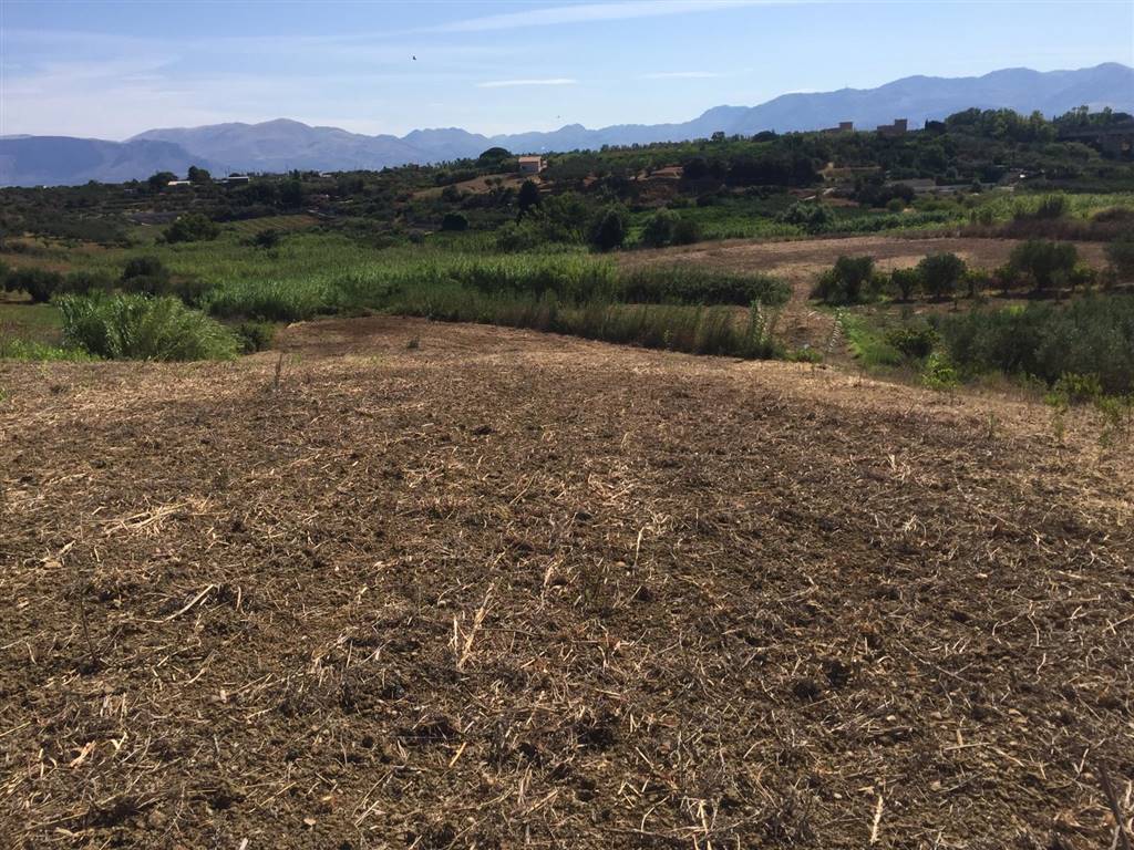
Do you have to build on land and want to know the characteristics? We at Hydro Hunter are able to provide the answers to your questions through the use of non-invasive operations.
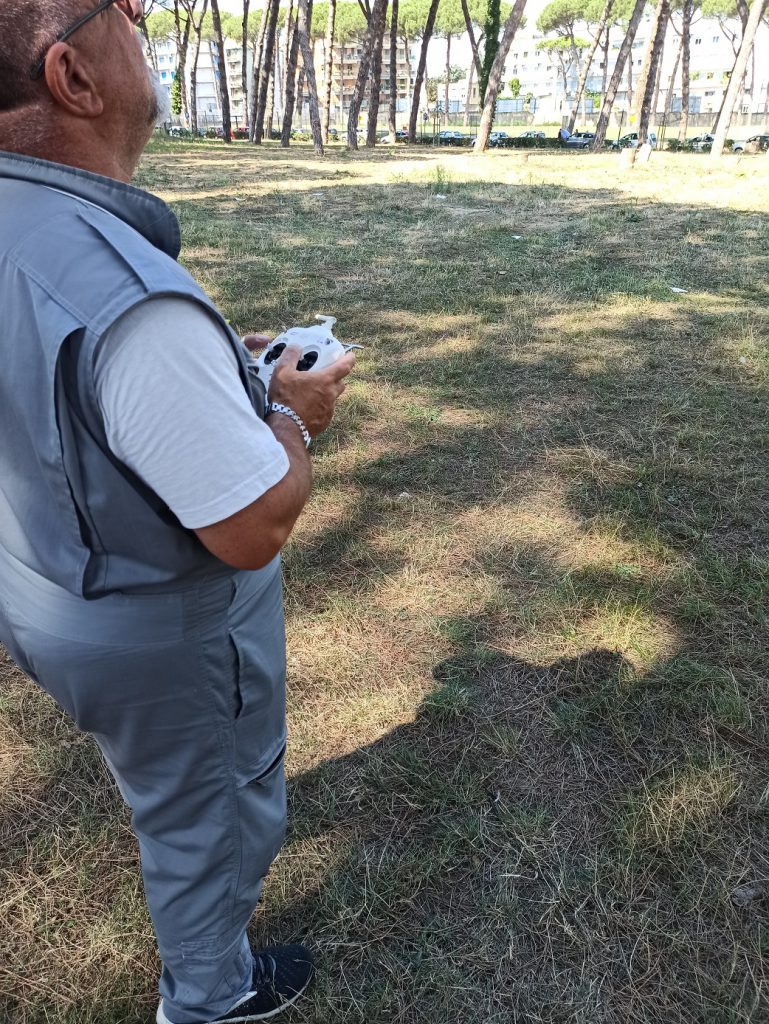
The Poseidon Technology invented by Sergio Marchettini (regularly patented machine) combined with the professionalism and the idea of the helicopter pilot with over 35 years of flight between the Army, the State Police and now a pilot of the 118 helicopter ambulance, Vincenzo Orso has allowed us to provide a unique service.
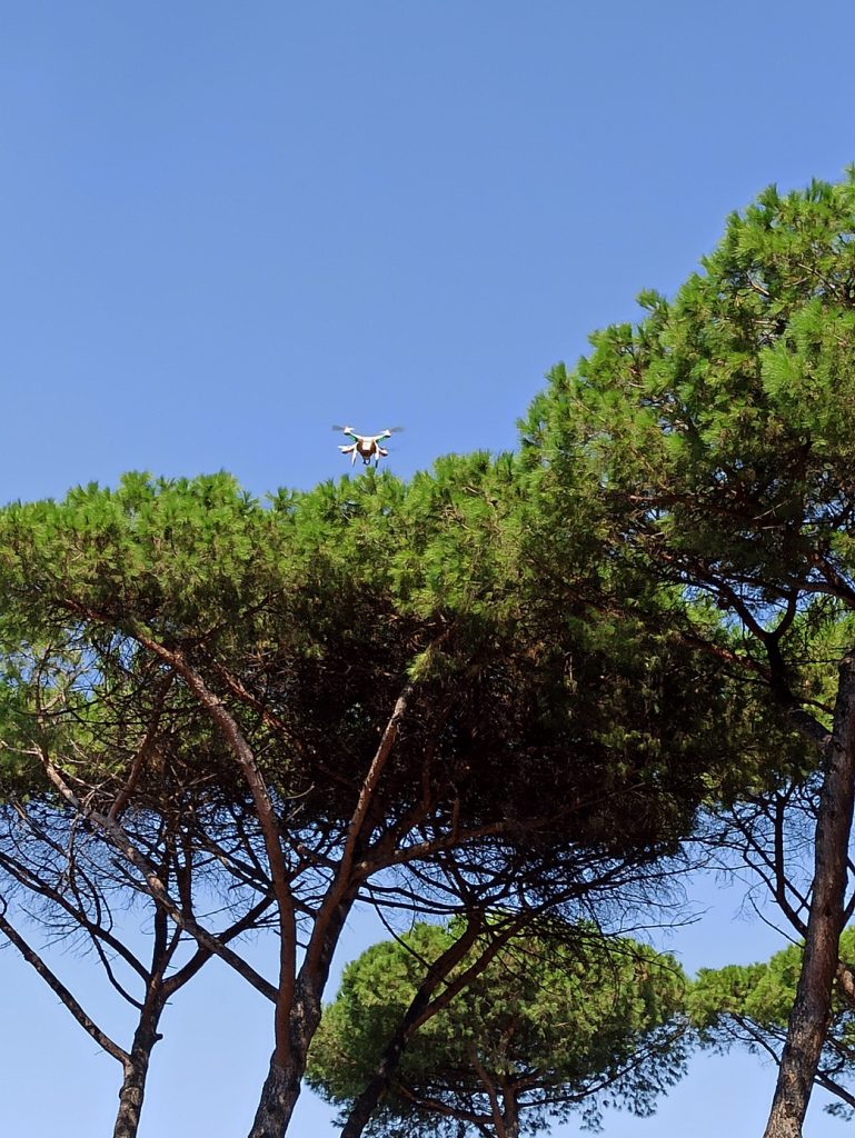
By exploiting the principles of electromagnetism, through a probe that is mounted on a drone, which flies over large quantities of ground, the electromagnetic waves generated at very low frequency penetrate deep into the ground up to 200 meters (up to 1800 with additional equipment in support of the cited technology) hitting everything they encounter. Each difference in density of the soil layers corresponds to a response that goes back to the surface, electromagnetic anomalies, which are captured by the drone which through a Bluetooth signal sends data to the machine which in real time, by making points appear on the map, highlights electromagnetic anomalies present on the ground.
In these indicated points we are able to provide a detailed mapping of the characteristics of the subsoil thanks to the use of a machine attached to the wall with which we carried out an inspection of the points indicated to carry out an orthogonal magnetic resonance of the ground. In practice, every 3 meters a signal is sent that reaches up to 200 meters deep and then comes back. This operation is carried out along a corridor of about 1.50 – 1.80 cm in width and 100 meters in length in order to obtain a colored graph on ordinates (meters deep) and abscissas (meters traveled on the floor) where it is possible to understand nature of the underlying terrain.
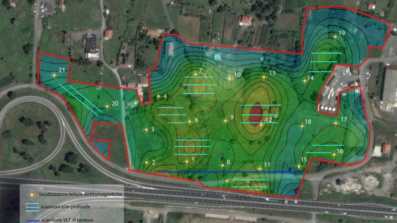
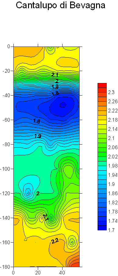

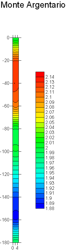
In this scheme it is easy to understand from the color scale that the magenta / red colored soil is the hardest (rock type). The green and yellow color can be sand or clay, the blue gravel or wet sand and clearly the dark blue denotes the presence of water.
Before carrying out this operation in order not to make potential customers make incorrect investments, we request the geographical coordinates and the extension of the land to carry out a preliminary analysis on our hydrogeological and geophysical maps.
To cover an area of 50 hectares it takes about 4 hours of work on site, while for the electronic processing for the creation of the graph it takes about 2 working days. Once the work is finished, a technical report is delivered to the client.
In daily operations, the most requested services are the search for areas with the presence of metals or requests for preventive purposes in the case of new buildings or land purchases.